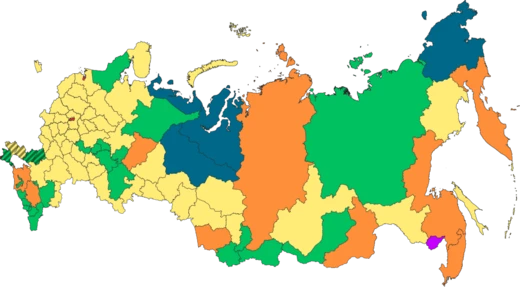
Krasnoyarsk Krai
Largest krai in Russia, spanning Siberia from Arctic to mountains.

Krasnoyarsk Krai is a federal subject (a krai) of Russia located in Siberia, with its administrative center in the city of Krasnoyarsk, the second-largest city in Siberia after Novosibirsk. It is the largest krai in Russia, the second-largest federal subject after neighboring Sakha, and the third-largest country subdivision by area in the world, covering 2,366,797 square kilometers, roughly 13% of Russia's total area. As of the 2021 census, its population is 2,856,971.
- area
- 2,366,797 sq km
- population
- 2,856,971 (2021 census)
- administrative_center
- Krasnoyarsk
- federal_subject_type
- Krai
- largest_city
- Krasnoyarsk
- highest_point
- Grandiozny Peak, 2,922 m
Lore & Background
The krai lies in the middle of Siberia, stretching 3,000 kilometers from the Sayan Mountains in the south along the Yenisei River to the Taymyr Peninsula in the north. It borders the Kara Sea and Laptev Sea of the Arctic Ocean, and its rivers, including the Yenisei and its tributaries, drain into the Arctic Ocean. The climate is strongly continental, with arctic, subarctic, and humid continental belts; average January temperatures range from −36°C in the north to −18°C in the south, while July averages range from 5–10°C in the north to +20°C in the south. The highest point is Grandiozny Peak at 2,922 meters in the Eastern Sayan Mountains.
Reader's Guide
Krasnoyarsk Krai is significant as a vast Siberian territory that comprises half of the Siberian Federal District and contains diverse geography from Arctic coastlines to mountain ranges. Its history includes early human habitation circa 40,000 BC, the Andronovo culture (2000–900 BC), and Scythian grave-mounds from the 7th century BC. Russian settlement began in the 17th century, and the area was used as a place of exile during Tsarist and Soviet times, including for Vladimir Lenin and Joseph Stalin. The 1908 Tunguska event, a powerful explosion in the Podkamennaya Tunguska basin, flattened over 2,000 square kilometers of forest. The krai was created in 1934 and later absorbed the Taymyr and Evenk Autonomous Okrugs in 2007. Its political structure includes a governor and a 52-deputy Legislative Assembly.
Did You Know?
- The krai covers roughly 13% of Russia's total area.
- The 1908 Tunguska event flattened more than 2,000 square kilometers of pine forest.
- The krai contains the most poleward tree line in the world at Ary-Mas.
- The highest point is Grandiozny Peak in the Eastern Sayan Mountains at 2,922 meters.
More in Russian Federal Subjects 1-20
Spotted an error? Know more?
This is a living reference — every entry is fact-audited, and reader corrections feed straight into our audit queue. Suggest an edit · See this site's audit record